Here’s the Lowdown on ‘Vertical Visibility’
During any flight, a pilot will encounter several different flavors of visibility.

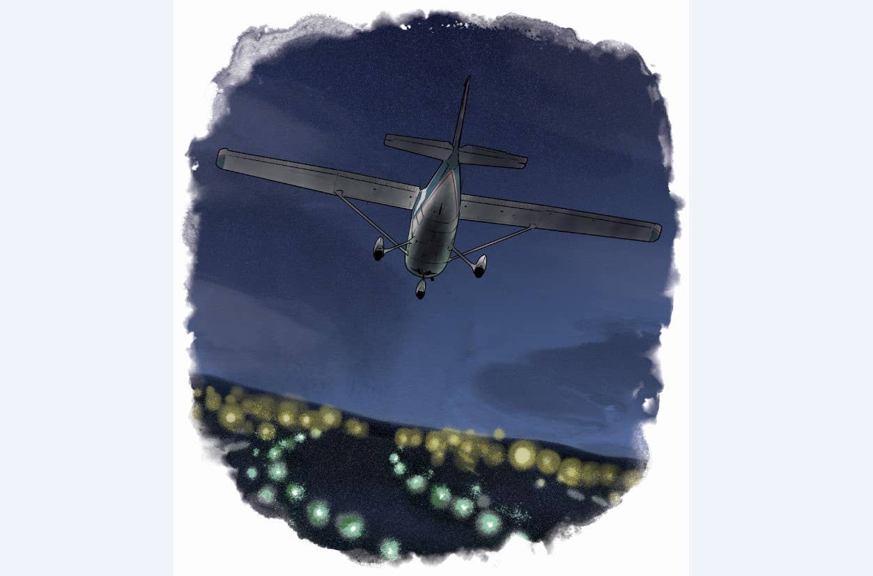
FLYING contributor Scott Dennstaedt poses the question: Is vertical visibility even a legitimate visibility? [iStock]
During any flight, a pilot will encounter several different flavors of visibility. This includes flight visibility, ground visibility, prevailing visibility, tower visibility, runway visual range, and vertical visibility.
But wait, is vertical visibility even a legitimate visibility? Actually, it’s a bit of a misnomer and not a true measure of visibility in the traditional sense. Vertical visibility is a close cousin to ceiling. That is, it represents the distance in feet a person can see vertically from the surface of the Earth into an obscuring phenomenon, or what is called an indefinite ceiling. What isn’t obvious is how vertical visibility is determined, and how this is different from a definite ceiling.
If you're not already a subscriber, what are you waiting for? Subscribe today to get the issue as soon as it is released in either Print or Digital formats.
Subscribe NowIt’s arguable that an indefinite ceiling is perhaps the most misunderstood phenomenon reported in a routine (METAR) or special surface (SPECI) observation. Forecasters will add vertical visibility in a terminal aerodrome forecast (TAF) as illustrated in the image below for Bradford Regional Airport (KBFD) in Pennsylvania. Whether this occurs in a METAR or TAF, vertical visibility is coded as “VV” followed by a three-digit height in hundreds of feet above the ground level. For example, you may see “VV002,” which is a vertical visibility of 200 feet. While a definite ceiling can be broken or overcast, a vertical visibility always implies the sky is completely covered. Let’s explore the difference between a definite and indefinite ceiling and the operational considerations.
Automated Observations
In the early days, human weather observers used to employ what were called “pilot balloons” to estimate the ceiling height. Essentially the balloon was launched by the observer and, given the balloon’s known rate of ascent, they watched the balloon enter the base of the clouds and measured the time it took using a stopwatch to determine the ceiling height. Then new technology emerged called a rotating beam ceilometer that measured the height of clouds. While it was more effective than launching a balloon, this method was phased out around 1990 and replaced with the laser beam ceilometer, the technology still widely used today.
The task of walking outside and assessing the height of clouds is generally a thing of the past given that this technology is incorporated into the automated surface observing system (ASOS) or automated weather observing system (AWOS) present at many airports throughout the U.S. The trained observer simply logs in to the ASOS (or AWOS) and makes their observation based on the data gathered and reported by the automated system. Then the observation is edited and augmented by the observer as necessary. Depending on the airport, this process may be completely automated.
In all honesty, making an estimate of the height of the cloud base isn’t the difficult part. What’s difficult is to provide a representative description of the amount of cloud coverage (e.g., few, scattered, broken, or overcast) in the airport’s terminal area. A laser beam that points straight up may easily miss a scattered or broken cloud deck. To alleviate this issue, the automated systems process the data over a given amount of time since clouds are generally moving through the sensor array area. It was found that a 30-minute time period provided a representative and responsive observation similar to that created by a trained observer. The most recent 10 minutes of sky cover and ceiling height are double weighted using a harmonic mean. (A harmonic mean is used in the visibility and sky cover algorithms rather than an arithmetic mean because it is more responsive to rapidly changing conditions such as decreasing visibility or increasing sky coverage/lower ceiling conditions.) In the end, the goal is to provide an observation representative of the airport’s terminal area, which is the area within 5 sm from the center of the airport’s runway complex. Visibility, wind, pressure, temperature, etc., all have their own harmonic means accordingly.
In our everyday experience, we know that many cloud decks observed from the ground have a very well-defined base. For an untrained observer, it might not be a simple task to determine their height. However, it’s easy to pick out where the base of the cloud starts. Even in these cases, the cloud decks may vary in height and multiple cloud layers may exist. Visually, that may be more difficult to discern for the untrained eye, but automated systems do a reasonable job making that observation. In a convective scenario, it is not unusual to see multiple scattered and broken cloud heights. For example, at the West Michigan Regional Airport (KBIV) the following was observed:
KBIV 122353Z AUTO 08011KT 4SM RA BR FEW011 SCT048 OVC065 19/18 A2972
This observation includes three definite cloud layers, which are a telltale sign that a convective environment is in place even before the first lightning strike.
Nuts and Bolts
An ASOS continuously scans the sky. To determine the height(s) of the clouds, the backscatter returns from the ceilometer are put into three different bins. When there’s a “cloud hit,” the system identifies a well-defined and sharp signature pattern that you’d expect with the sensor striking the cloud base. Essentially this means most of the hits are aggregated around a particular height above the ground. Such a sharp signature is then incorporated into the 30-minute sky cover and cloud height harmonic average, and a new observation is born.
On the other hand, a “no hit” is recorded when there isn’t an ample amount of backscatter received, usually because there are no clouds below 12,600 feet agl over the sensor. Note that the ASOS (and AWOS) is designed only to detect clouds below 12,600 feet above the ground, although a trained observer can and does report higher clouds. Lastly, if the backscatter does not provide that sharp signature around a particular height, an “unknown hit” is recorded. It is this unknown hit that leads us down the path to an indefinite ceiling or vertical visibility.
Haze, Mist, and Fog, Oh, My!
So, isn’t an indefinite ceiling the same thing as a ground fog event? Not necessarily. Stratus is the most common cloud associated with low ceilings and reduced visibility. Stratus clouds are composed of extremely small water droplets or ice crystals (during the cold season) suspended in the air and may be touching the surface, so to speak. An observer along a coastal region or on the side of a mountain would likely just call this plain old fog. This is certainly understandable, since we grew up calling this kind of situation foggy.
Fog, however, is thought to be more of an obstruction to visibility from a surface observing standpoint. To understand the recording of obscurations, here’s how the ASOS automatically determines what to report. Once each minute, the obscuration algorithm checks the reported visibility. When the visibility drops below 7 sm, the current dew point depression (temperature-dew point spread) is checked to distinguish between fog (FG), mist (BR), and haze (HZ). If the dew point depression is less than or equal to 4 degrees Fahrenheit (~2 degrees Celsius), then FG or BR will be reported. Visibility will then be used to further differentiate between FG and BR.
Whenever the visibility is below five-eighth sm, FG is reported regardless of the “cloud” that produces it. So fog isn’t really about a cloud or ceiling as much as it is about visibility. Therefore, stratus and fog frequently exist together. In many cases, there is no real line of distinction between the fog and stratus; rather, one gradually merges into the other. Flight visibility may approach zero when flying in stratus clouds. Stratus over land tends to be lowest during night and early morning, dissipating by late morning or early afternoon. Low stratus clouds often occur when moist air mixes with a colder air mass or in any situation where temperature-dewpoint spread is small.
- READ MORE: Decoding the Weather
Moisture-Rich Environment
Essentially, an indefinite ceiling means there is something obscuring your view of the cloud base. When you look up, you won’t be able to see a well-defined cloud base like you would on a day where the sky isn’t obscured. According to the ASOS User’s Guide, “these ‘unknown hits’ are primarily caused by precipitation and fog that mask the base of the clouds.” The laser beam bounces off moisture at various heights, making it impossible to process this as a definite cloud hit. Instead, the ASOS identifies these unknown hits as a vertical visibility abbreviated as “VV” in the resulting routine or special observation.
Given the broad moisture field near the surface that scatters the laser beam signal, indefinite ceilings are guaranteed to be paired with low visibility situations. You are not going to see a surface visibility of 10 miles paired with a VV of 200 feet. Usually this means a low or very low IFR flight category anytime there’s an indefinite ceiling. Also keep in mind that an indefinite ceiling in a terminal forecast will result in a low visibility forecast.
In general, the higher the vertical visibility, the better the surface visibility. Therefore, a vertical visibility of 200 feet (VV002) is usually met with a visibility of one-half sm. Furthermore, a vertical visibility of 700 feet (VV007) will likely be associated with a visibility between 1 and 2 sm. While rare, you may even see a fairly high vertical visibility over 1,000 feet (e.g., VV012). In this case, the surface visibility may be over 3 sm. The really bad stuff, however, occurs with a visibility of one quarter sm (or even “M1/4 SM” denoting less than that) and a vertical visibility of zero feet (VV000) as illustrated in the image below for Bradford Regional Airport. This very low indefinite ceiling is not all that common unless you are stationed on the summit of Mount Washington in New Hampshire, where this low vertical visibility happens quite often throughout the year. It also occurs fairly often at airports along West Coast regions of the U.S., especially during their “May gray” or “June gloom” time frame.
As mentioned earlier, fog and precipitation are the two primary reasons the base of the cloud deck is obscured. Therefore, it’s common to see vertical visibility reported when light rain, drizzle, or even snow is falling from the cloud base.
Precipitation or not, it’s generally rare to see a single station reporting an indefinite ceiling. Most of the time, you will see indefinite ceiling reports embedded in a widespread area of low or very low IFR conditions, especially at coastal airports. Although airports such as Nantucket Memorial Airport (KACK) in Massachusetts can be reporting a low indefinite ceiling, at stations farther inland near Cape Cod the sky can be clear or nearly so.
It’s important to note that conditions producing an indefinite ceiling often take longer to improve. Normally there will be a transition from an indefinite to definite ceiling once the moisture begins to mix out with the help of the sun. However, the visibility may still be quite low for the next few hours. Keep this in mind when flight planning to an airport reporting an indefinite ceiling.
Operational Significance
From a practical standpoint, you should treat an observation or forecast for a vertical visibility the same as you’d treat a definite ceiling. Given the nature of conditions that produce an indefinite ceiling, you can expect a longer transition as you depart into such a ceiling under IFR. It’s easy to get spatial disorientation because of the gradual change.
An indefinite ceiling restricts the pilot’s flight (air-to-ground) visibility. Therefore, an instrument approach may be a bit more challenging even after you drop below the reported ceiling height because of the reduced visibility. Most importantly, a circle-to-land approach with an indefinite ceiling will make it quite difficult to keep the runway in sight, especially at night. And, as a final consideration, with an indefinite ceiling, don’t be surprised to see runway visual range also pop up in the observation for airports with such equipment.
This feature first appeared in the October 2023/Issue 942 of FLYING’s print edition.

Subscribe to Our Newsletter
Get the latest FLYING stories delivered directly to your inbox


